
From Floor Plans to Action: How 360° Mapping Improves Emergency Response
- Dr. R. Ryan Rider

- Apr 4
- 3 min read
Updated: Apr 9
When a crisis strikes a school campus, every single second counts. For decades, emergency response and school safety planning have relied heavily on static 2D floor plans. Unfortunately, in the chaos of a real-world emergency, these traditional methods are often outdated, difficult to interpret, and fail to provide the immediate spatial clarity that first responders desperately need.
Today, school districts are required to maintain accurate campus maps for emergency response. But simply checking a compliance box is no longer enough. The solution lies in transitioning from static blueprints to a dynamic, navigable virtual environment using digital twin technology. By mirroring the physical campus in an immersive 360° digital space, administrators and law enforcement can move from basic compliance to true operational readiness.
Moving Beyond Compliance to Operational Readiness
Meeting Texas School Safety Mandates

Recent legislation has raised the bar for school safety mapping. In Texas, for example, products must meet the strict requirements of 19 TAC §61.1031 and TEC Sec 37.117. These mandates require accurate site layouts and floor plans, interior and exterior door identification, true-north orientation, and electronic delivery.
While traditional vendors provide static maps that require heavy mental interpretation during a crisis, Triple R Investigations (TRI) delivers the CSI360 solution. CSI360 provides an interactive 360° environment with full walkthrough capabilities, making navigation intuitive and visual for first responders who may have never set foot on the campus.
The CSI360 Mapping Solution: A Navigable Environment for First Responders
Tactical Pre-Incident Planning and Incident Response
CSI360 is a complete 360° campus documentation and reconstruction ecosystem that creates an immersive, navigable digital twin of any instructional facility. The workflow is designed for real-world emergency response and follows four simple steps:
Capture: Utilizing 360° imaging of campus interiors and exteriors.
Build: Uploading, labeling, and creating navigation within the CSI360 platform.
Deploy: Providing secure access via cloud or local on-premise systems.
Train: Preparing staff and responders for real-world use with scenario-based training.
During an active threat, CSI360 serves as a premier tool for tactical pre-incident planning. Through interactive "Info Boxes" and "Image Pop-Ups," users can permanently tag the exact locations of critical safety assets, such as AEDs, fire alarms, first aid kits, Knox boxes, and utility shut-offs, directly inside the virtual space.
Furthermore, the platform's CSI3602GO feature allows for the offline export of the entire virtual campus. This ensures that SWAT teams and incident commanders can view the digital twin on laptops in the field, even if internet access is cut off or cell towers are overloaded. Administrators can also integrate live feeds from existing IP security cameras directly into the 360° map, providing real-time visual tracking of visitors or active threats.
Navigating Cybersecurity and CJIS Compliance
Securing the Digital Twin Attack Surface
As campuses digitize their infrastructure, protecting sensitive data is a critical mandate. CSI360 is engineered for CJIS (Criminal Justice Information Services) compliance and strict chain-of-custody evidence standards. The platform fully complies with security requirements such as Texas Gov Code 2054-516.
To ensure data integrity and protect student privacy, the system features:
Deployment Options: Secure hosting directly on agency/district servers (on-premise) or via secure managed cloud servers.
Advanced Security Controls: Enforcement of Multi-Factor Authentication (MFA), HTTPS-only secure connections (TLS 1.2+), and role-based access controls to dictate who can view versus edit the environment.
Democratizing Forensic Technology for Schools
High-Precision Mapping on a Budget
Agencies and school districts no longer need massive enterprise budgets to deploy advanced spatial mapping. CSI360 offers a hybrid, flexible pricing model designed to be grant-aware and budget-friendly for public sector agencies.
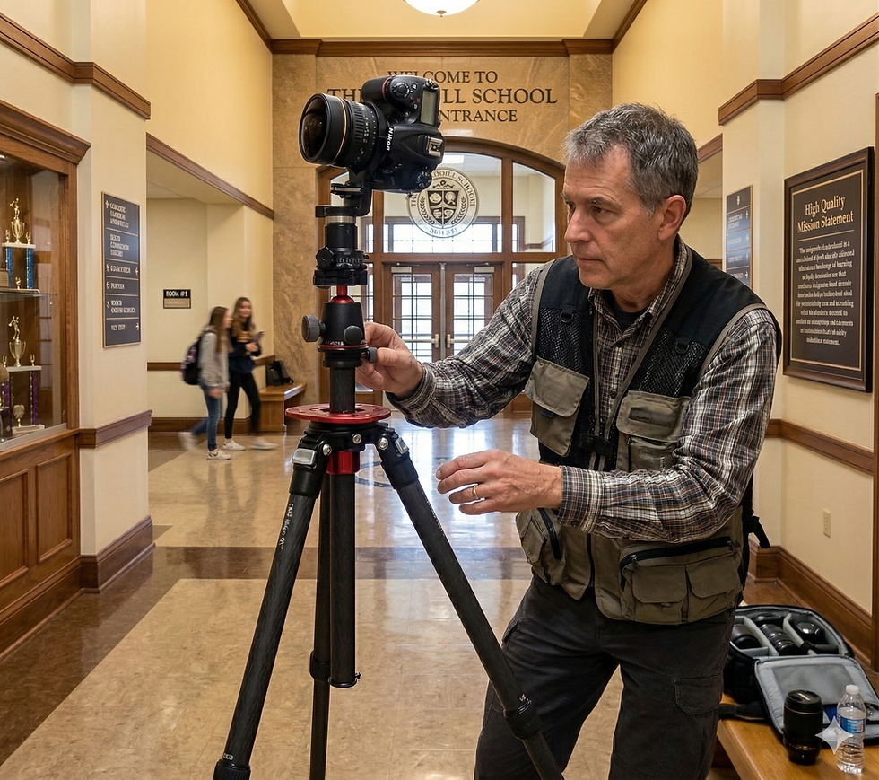
The technology leverages high-resolution 360° spherical imaging, close-range photogrammetry, and LiDAR measurement. For rapid deployment, the proprietary CSI Room Scan app utilizes iPhone LiDAR to generate accurate 2D/3D floor plans and spatial geometry in seconds. Additionally, affordable upgrade kits can transform existing DSLR cameras into high-precision 360° mapping tools.
The Future of the "Cognitive Campus"
Transitioning from a physical campus to a dynamic digital-twin environment is no longer just a facility upgrade; it is a strategic necessity to protect a campus's most valuable assets: its students and staff. Traditional maps are for compliance; interactive digital twins are for operational readiness.
Is your campus or agency ready to modernize its safety response? At Triple R Investigations, we help agencies and educational institutions improve documentation, training, and courtroom readiness. Contact us today to learn more about our CSI360 forensic tour technology and comprehensive 3D scanning workflows.

Comments